
Information
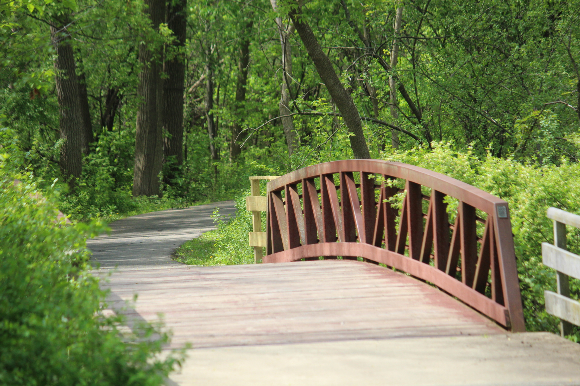
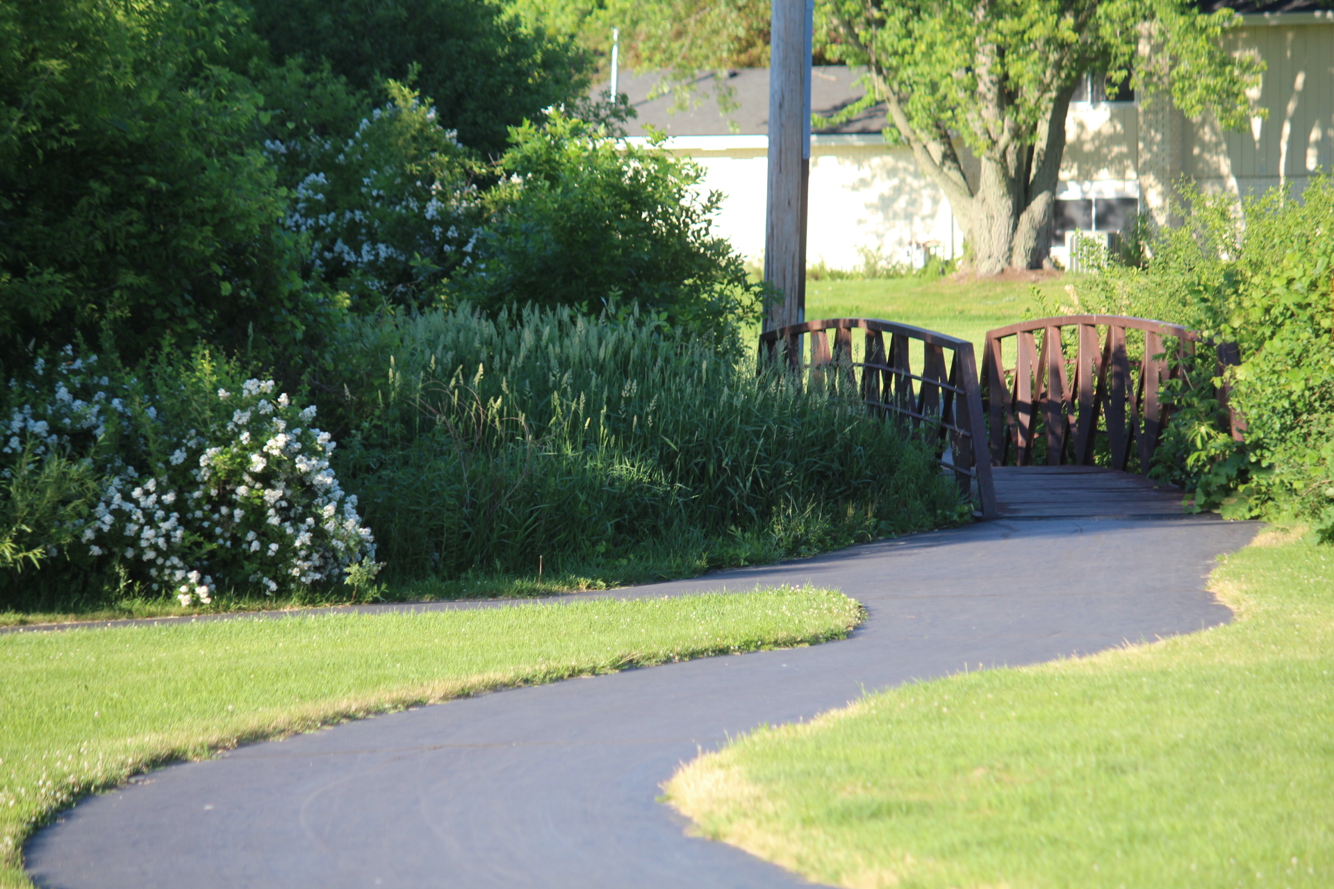
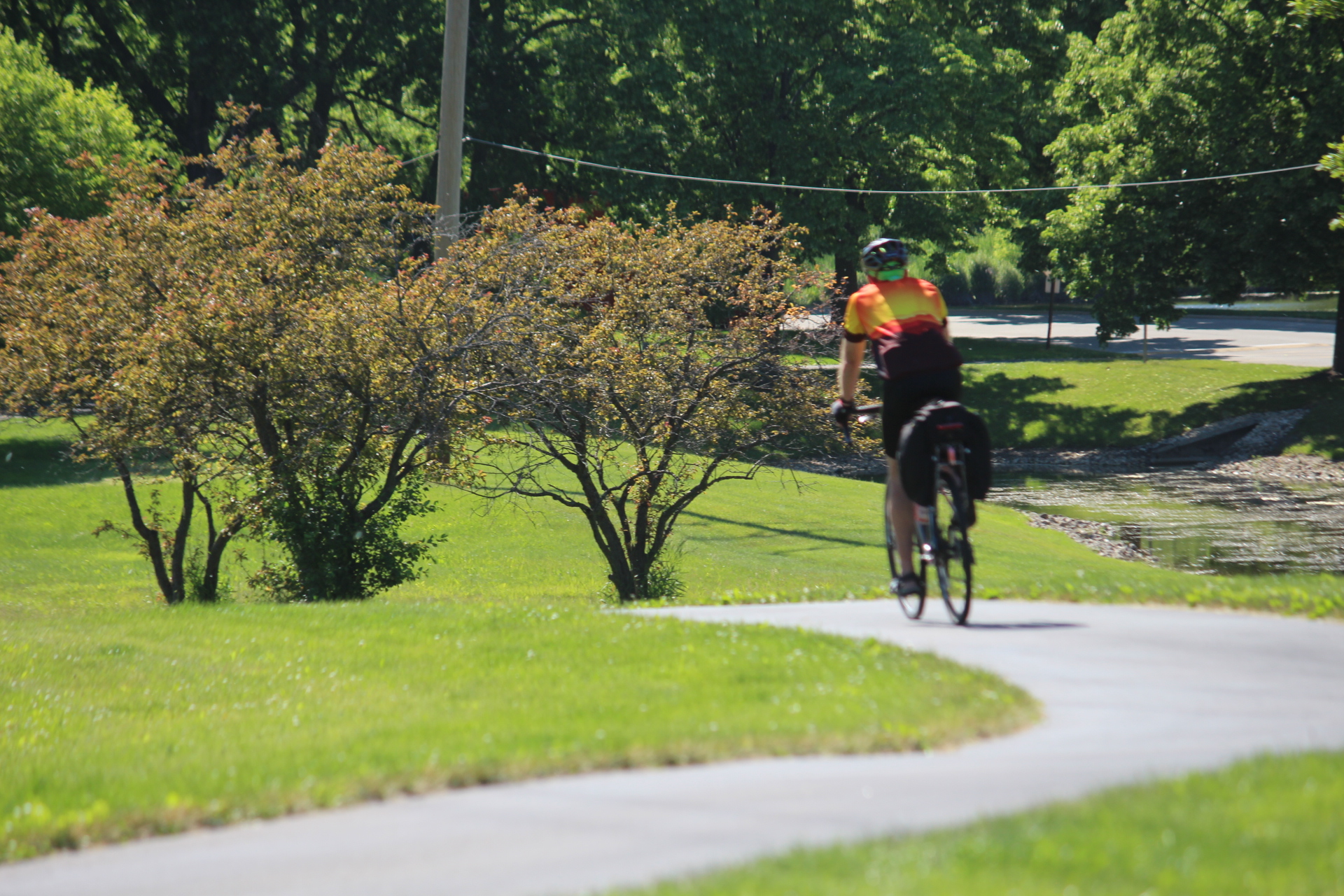
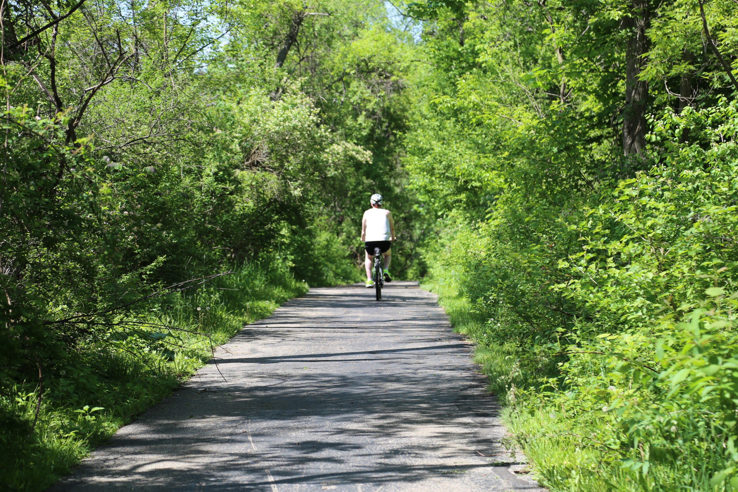
Palatine Trail is a bicycle, hiking, and scenic nature trail, which extends through the Palatine Park District community. Combining paved trail with designated side streets, Palatine Trail provides access to schools, Harper College, neighborhood parks, Palatine Hills Golf Course, and several other northwest suburban bike trails.
Safety Guidelines
Guidelines for All Users
- Stay to the right on the trail.
- Give warning before passing on the left.
- Move off the trail when stopped.
- Obey all stop signs.
- Wear bright or reflective clothing.
- Motorized vehicles are prohibited.
Guidelines for Cyclists
- Always wear a helmet.
- Ride single file.
- Yield right of way to pedestrians.
- When riding at night, equip your bike with a headlight and reflectors.
- Use a moderate recreational speed of 12 mph.
- Speed training and racing are prohibited.
- Traffic laws apply to cyclists, where trail crosses or runs along roads.
- Use hand signals for turns and stops.
Trail Mileage
Traveling East to West
- Anderson Drive to Williams Drive 1.0 mi
- Williams Drive to Hicks Road Rest Area 0.9 mi
- Hicks Road Rest Area to Ashwood Park 0.6 mi
- Ashwood Park to Golf Course Parking Lot 1.3 mi
- Golf Course Parking Lot to Quentin & Dundee Roads 0.9 mi
- Total (Anderson Drive to Quentin & Dundee Roads) 4.7 mi
Traveling North to South
- Ashwood Park to Community Center 0.8 mi
- Community Center to Riemer Reservoir 1.1 mi
- Riemer Reservoir to Quentin & Palatine Roads 0.4 mi
- Palatine Road to Heron Park 1.2 mi
- Heron Park to Illinois Avenue 0.7 mi
- Illinois Avenue to Peregrine Park 1.3 mi
- Euclid Avenue to Quentin Road 0.5 mi
- Harper College Drive to Quentin Road 0.5 mi
- Total (Riemer Reservoir to College Hill Circle) 5.3 mi
- Total (Ashwood Park to College Hill Circle) 6.7 mi